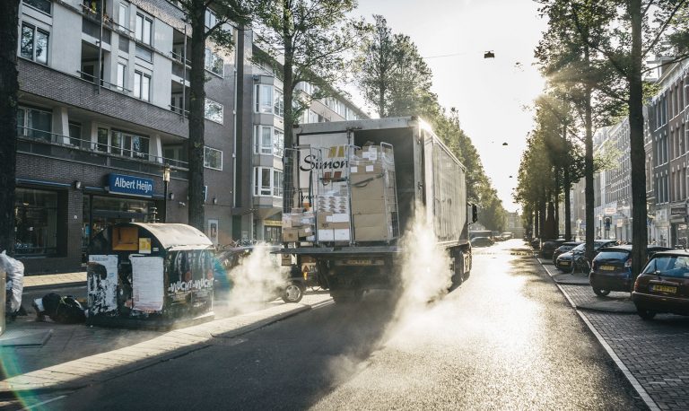
Whether craft businesses, package logisticians, suppliers, taxi companies or courier services for pharmacies - all of these companies have to drive into the city centers, all of them usually use diesel vehicles and all of them have the same problems: environmental zones, impending diesel driving bans, temporary closures, long-term construction sites and and and. How can dispatchers and route planners best “bypass” these areas, avoid detours and still remain efficient? We give you an overview of how dynamic route planning and route optimization can steer you around precisely these obstacles automatically, flexibly and with foresight.
Dynamic route planning maps environmental zones
To reduce particulate matter pollution in cities, only vehicles that comply with certain emission standards are allowed to enter environmental zones. As is known, the labeling is carried out with red, yellow and green fine dust stickers. The badges are valid in every environmental zone in Germany and not just for a specific city, as is the case with the new diesel driving bans. The stickers are valid for all cars, buses and trucks regardless of the type of fuel and gross vehicle weight. There are currently environmental zones in 57 German cities. Anyone who drives into an environmental zone without a sticker or special permit is committing an administrative offense. In the event of a violation, a fine of 80 euros will be levied. Therefore, a forward-looking tour optimization makes sense here. Incidentally, environmental zones exist across Europe from France to the Czech Republic and from Norway to Portugal. This is compounded by the fact that the bans are temporary. For example, the restrictions apply at certain times in Paris, Lisbon, Prague and London, in Spain and France there is only a ban in some cities in the event of an air pollution alarm. Because of these different rules, it is becoming increasingly difficult for transport companies to plan routes efficiently and adapt them dynamically.
The dynamic route planning shows environmental zones, driving bans and temporary obstacles and offers appropriate alternative routes.
Dr. Tore Grünert
Managing Director
„Hilfreich wäre ein zentrales Straßenverzeichnis, das die Umweltzonen aktuell abbildet. Vom Umweltbundesamt als zuständige Behörde gibt es aber nur ein Verzeichnis ohne professionell nutzbare Karten. Bei der Tourenplanung müssen die Verbote aber vorausschauend und flexibel berücksichtigt werden, da sich die Gebiete und Zonen ändern können. Genau dies übernimmt die dynamische Tourenplanung“, erklärt Dr. Tore Grünert, geschäftsführender Gesellschafter von gts.
Impending diesel driving bans - perspective thanks to route planning
Hamburg, Frankfurt, Stuttgart, Berlin? Euro 4 or Euro 5? Whole cities or just streets? From 2018 or 2019? In February of this year, the Federal Administrative Court declared diesel driving bans in German cities to be legally possible. Since then, there has been general confusion as each city has its own rules. Hamburg has already taken it seriously and in May 2018 issued a diesel driving ban for trucks and diesel cars that do not meet the Euro 6 standard. The passage restriction applies to 2 road sections over 2.2 kilometers. By the way, around 100 signs were put up for this. Frankfurt, Stuttgart and Berlin have already ordered diesel driving bans for 2019. It is expected that other large cities will follow. In view of this patchwork of driving bans, tour planning software that maps current bans and restricted zones is more essential than ever.
Dynamic route planning shows current prohibitions and alternative routes
Whether construction sites, temporary entry bans, winter closures, changes of direction, tunnel opening times, movable bridges, ferry connections, environmental zones or new diesel driving bans - current route changes often cause time-consuming detours if no real-time information is available. Tour planning software such as TransIT reacts automatically and flexibly to changes in real time. Possible events and uncertainties in the planning are included. In the event of temporary driving bans, detours and restrictions, TransIT optimizes the current route and shows alternative routes. This can already be mapped in the planning phase, e.g. B. on long-term construction sites. The dynamic route planning makes navigation easier and saves the route and thus also fuel. On the basis of the geographic information system for map display, geocoding and distance calculation, TransIT ensures that the map data is as up-to-date as possible. The easiest way to get this current data to the driver is with the gts TransIT Mobile app.