gts Maps:
Get started with tour planning easily and efficiently.
From route planner to route manager.
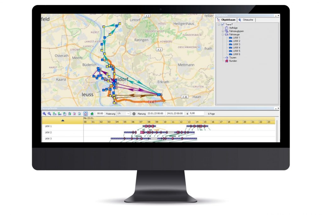
With gts Maps, you no longer plan your routes in your head or on paper, but digitise them. All important information such as tours, vehicles, orders and customers can be imported into gts Maps, geocoded and planned.
The result: significantly reduced planning effort and a complete overview of all tours.

Clever start for a small fleet.
gts Maps is the entry into efficient and digitalised route planning. The basic modules and simple handling of the software are ideal for companies with a small fleet that need support in their route planning.

Efficient driver communication via app.
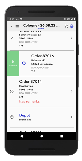
The tours planned in gts Maps can be conveniently sent to the driver via the TransIT Mobile App. With the app, the planned tour automatically lands on the driver's smartphone - and can be driven directly via Google Navigation.
Everything in view at all times.
In addition to the manual planning and digitalisation of tours, you retain complete control and management with gts Maps. The evaluation of the GPS data recorded via the app is used for target/actual comparisons of the tours driven and to determine the "ETA" (Estimated Time of Arrival).
Your Benefits.
- Planning function:
- Importing and geocoding route data
- Record orders, vehicles, tours and customers
- Plan routes manually
- Telematics function:
- Send routes to the driver via TransIT Mobile App
- Vehicle location, order status, send messages & photos
- Controlling function:
- Evaluation of GPS data
- ETA and target/actual comparisons


